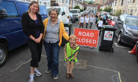
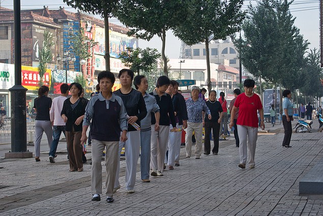
The Park Chelsea map currently lists all Chelsea's open space opportunities. One addition is to add walkng trails to the map. here's some city's with walking trails embedded into the community.
By Taryn Plumb
|
Globe Correspondent
August 09, 2012
... if you live in Milford or Franklin, you no longer have an excuse not to get out and walk.
Through a collaboration between the two towns, the nonprofit
WalkBoston organization, and the Hockomock Area YMCA, each community now
has its own downtown walking map outlined with numerous routes, time
markers, and various points of interest....
“It’s really looking at how we can change behavior,” said Lauren
Marciszyn, director of youth and community wellness at the Hockomock
Area YMCA, which became involved through its ongoing Healthy Futures
initiative, aimed at tackling childhood obesity. “It’s improving the
health of the community by making the healthy choice the easy choice.”
Milford’s map, which is available on the town website and at several
municipal offices and businesses, features 10 loops with a half-dozen
highlighted points of interest, including Louisa Lake, the 1884 Memorial
Hall, and the Irish Round Tower, a 74-foot memorial in St. Mary’s
Cemetery. Different routes pass by the high school and the Milford
Regional Medical Center, and incorporate the Upper Charles River Trail....
link for more on map
The map, once printed, will be available at town buildings and local businesses, and online, she said.
Routes on both maps range from a half-mile to 2 to 3 miles, and are
broken into increments that can be completed in five minutes, according
to Joe Cutrufo, program coordinator for WalkBoston....
“Really the idea is to just get families walking,” said Ellen
Freedman, who is involved with the initiative, and serves as project
coordinator for the Greater Milford Health Access Coalition. “It
generally promotes walking in the community.”...
And as well as teaching about landmarks and distinctive historical
points, the maps can also help to illustrate that some walking trips
aren’t as long or as ominous as people might think.
“I hope that people will find new routes for walking that they didn’t know existed,” Dahlstrom said.
“Ultimately,” said Marciszyn, “it’s about how we can get the
community to look at where they live as a place to be active, and to
utilize walking as a mode of transportation.”
full article
WalkBoston & Milford
WalkBoston makes walking safer and easier in Massachusetts to encourage better health, a cleaner environment and vibrant communities. Our education and advocacy programs give voice to citizens to make their communities more walkable. A non-profit organization, WalkBoston has worked in over 65 communities across the Commonwealth. Our maps are created in conjunction with local organizations and people with expert knowledge of the area. To learn more or support us, visit walkboston.org.
This Milford walking map was developed and printed with funding from the Metrowest Health Foundation. It was produced through partnership between WalkBoston and Healthy Futures Milford, a community-wide collaboration to promote healthy eating and physical activity.
walk boston link
Newport Beach, CA Walking Trail Maps
| 1 | Pier to Pier | 1.74 (One Way) | This
is a beach front walk along a paved path designated for pedestrians and
bicycles. There are great views of the ocean the entire length of the
walk. Depending on the time of the year it can get very crowded. | Map
|
| 2 | Balboa Island Loop | 1.70 | This
walk takes you around Balboa Island on a paved path designated for
pedestrians. This walk provides great views of the harbor. Parking on
the island is limited to the street and can be difficult at times to
find. A better option may be to park in the Balboa Pier lot and take
the ferry over. | Map |
 |
| Pier to Pier map |